
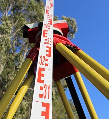
Surveying Services
Specialise in:
- Building Site Surveys
- Engineering and Construction Surveys
- Mining and Bulk Earthworks
- Topographic surveys
- As-constructed/As-built surveys
- Monitoring Surveys
- Underground services identification
- Railway Corridor work
- Hydrographic Surveys
- Civil and infrastructure set out
- Control networks
- Volumetric surveys
- Machine control
Specialising in the following areas:
• Building Site Surveys are a graphical representation of your land and features. It is used to display features of existing structures (Buildings, Sheds, Fence lines, and Services etc.) and natural ground/ gradual changes in elevation on your property. Before any design of a new development can take place a contour and detail should be carried out by an experienced Surveyor.
• Topographic Surveys are conducted for property owners or those in the building and construction industry. A topographic land survey is to note the natural and manmade features/structures within the property. Much similar to the Building Site Surveys however usually on a much larger scale. These may include hills, roads, creeks, trees, fences, buildings, and other features over the natural state of the land. Topographic surveys are sometimes called contour and detail surveys, and are usually conducted for planning designs and before earthworks or construction.
• Engineering and Construction Surveys is the translation of construction plans into physical points on the ground that can be used as a basis for the actual construction. The results of construction surveying are seen in almost any urban, suburban, and even rural setting. Almost any roadway, building, or other man-made improvement probably had some amount of construction surveying involved. Construction surveying provides not only the horizontal location of new improvements, but also the vertical information required to ensure that surfaces drain or pipes flow as required.
• As-constructed/As-built Surveys are routinely used by the building, construction and mining industry to provide a final 'compliance to design' check on the completed project. In addition, an as-built survey shows exactly what has been completed to date, a useful tool in adjusting the schedule of a large construction project. During an as-constructed survey, the surveyor will physically measure all of the critical aspects of the constructed areas. For example the surface of a new road will be subject to design tolerances in alignment, level and grade. Sufficient points will be surveyed at a distribution necessary to enable comparison of the as-constructed road against tolerances of the design specifications.
• Mining and Bulk Earthworks Surveys cover all aspects of surveying and volume calculations/setout on a mine site. From mine planning through to production operations, quality control and statutory obligations. Bulk Earthwork Surveys are performed to co-ordinate and calculate large volumes of earthworks performed on a mine site. This includes the setout of batters, cut lines, survey pickup of stockpiles as well as the calculation of material moved.